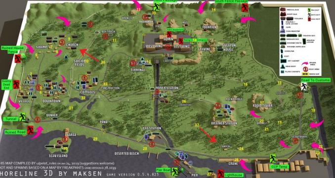
Shoreline maps are essential tools for environmental management, coastal planning, and scientific research. These maps visually represent the boundary between land and water, providing crucial data for understanding coastal erosion, habitat changes, and shoreline dynamics. With growing concerns over climate change and rising sea levels, accurate and detailed shoreline maps have become more important than […]
